


 |
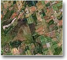
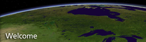
Peterborough and Kawartha Lakes Region Centre for Earth Observation Systems and Geospatial Analysis (CEOSGA)- A proposalA working partnership between Trent University, Sir Sandford Fleming College and the Ontario Ministry of Natural Resources Rationale and Justification Remote sensing, GIS and spatial analysis, part of the generic field of Geomatics, are increasingly used in universities, governments and industry to guide policy decisions and build understanding of structure and change in the natural and social environment. Remote sensing provides a cost-effective means of obtaining information, products and services for vast areas of land and water and over time, to support crucial environmental policy development and timely decision making. GIS and spatial analysis are complementary tools for manipulating and revealing patterns in spatial data, used in a broad array of environmental and social research and policy development. Presently, many local, provincial, national and international agencies rely on these spatial technologies to derive essential knowledge-products and models that support policy formulation and compliance. The monitoring of the environment is an imperative since the effects of global phenomena acquire their own particular manifestations at national, provincial and local scales. In the Peterborough and the Kawartha Lakes Region (PKLR) of Southern Ontario the relative high density of research and higher education institutions, together with government agencies and research networks creates a critical mass of researchers and specialists in remote sensing, GIS and modelling of environmental and spatial phenomena. The considerable volume and quality of work produced by these specialists could be harnessed and put to use as potential regional development engine, providing products and services and generating local employment, education and training opportunities. Just as important, such critical mass can also promote the development of a regional remote sensing and geomatics hub, involving a variety of activities such as seminars, workshops, communications, publications and many other activities related to the discipline. The intent of the present workshop is to get scientists, professionals, educators, data librarians, data providers and practitioners in the region to begin the process of dialogue and information exchange concerning a set of specific objectives. |