1) The Serson Ice Shelf break-up animated using cloud-free MODIS images. The animation shows an area that is approximately 80 km wide. MODIS image from the Rapid Response Project at NASA/GSFC. Animation courtesy Derek Mueller, Trent University.
1) The Serson Ice Shelf break-up animated using cloud-free MODIS images. The animation shows an area that is approximately 80 km wide. MODIS image from the Rapid Response Project at NASA/GSFC. Animation courtesy Derek Mueller, Trent University.

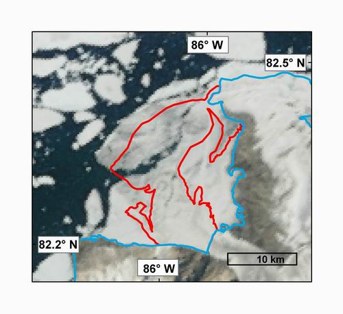
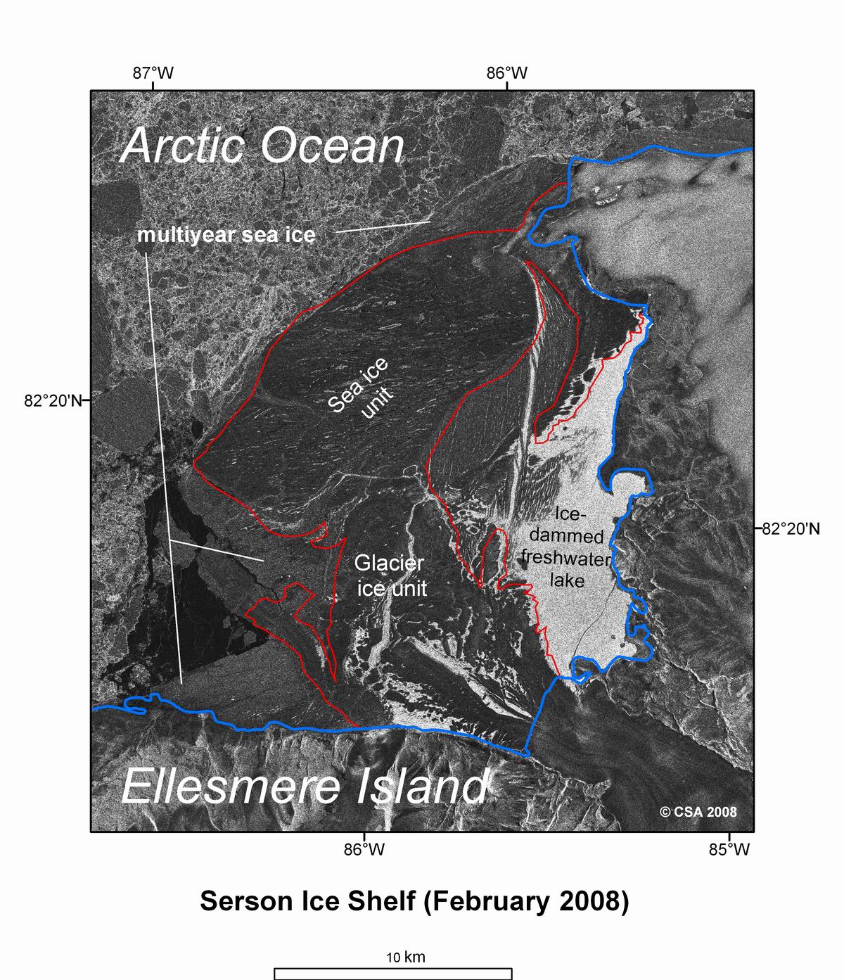
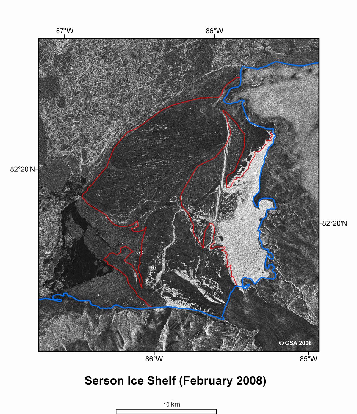
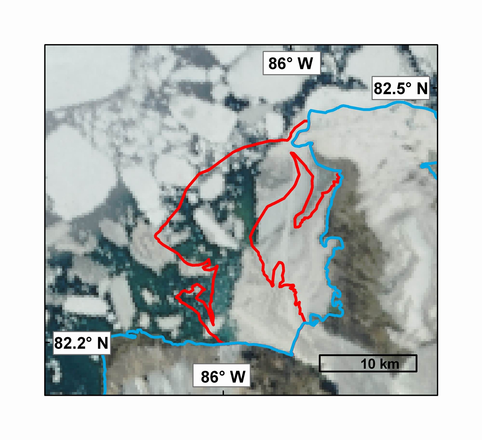
2) A map of the Serson Ice Shelf (2006 extent outlined in red) before it began to break-up in July based on RADARSAT-1 fine beam imagery from February 2008. The Serson Ice Shelf is composed of two sections, one comprised of glacier ice flowing off of Ellesmere Island and another section composed of ancient sea ice and snow that have accumulated over thousands of years. The ice shelf is estimated at 40 m thick and is fringed by thinner multiyear sea ice that helped protect it from the pack ice of the Arctic Ocean. RADARSAT-1 image copyright Canadian Space Agency, processed at the Alaska Satellite Facility. Map courtesy Derek Mueller, Trent University
High Resolution Version Unannotated Version

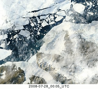
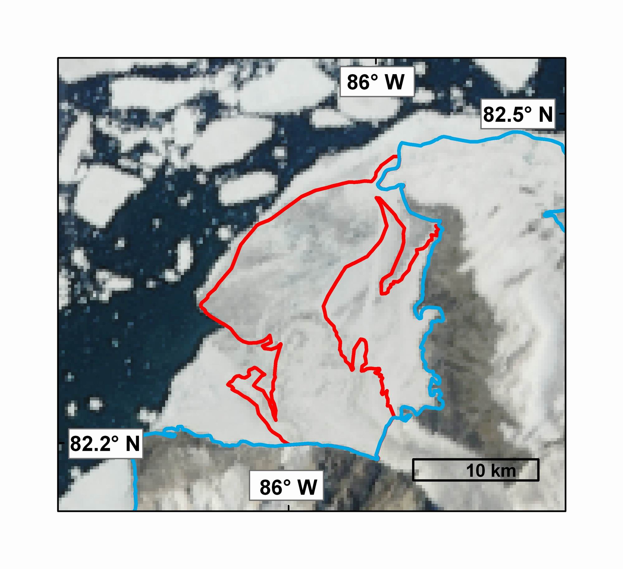
3) A MODIS image of the Serson Ice Shelf (2006 extent outlined in red) July 28, 2008 prior to its break-up in 2008. MODIS image from the Rapid Response Project at NASA/GSFC. Map courtesy Derek Mueller, Trent University
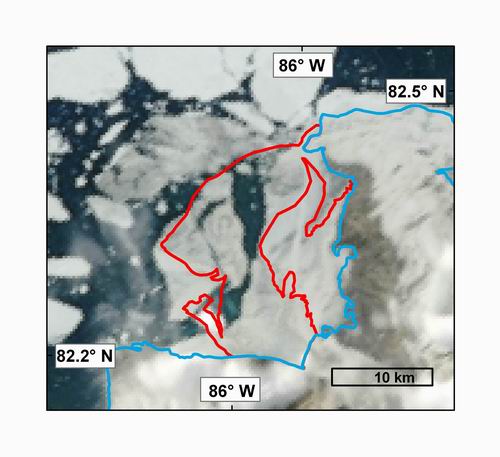
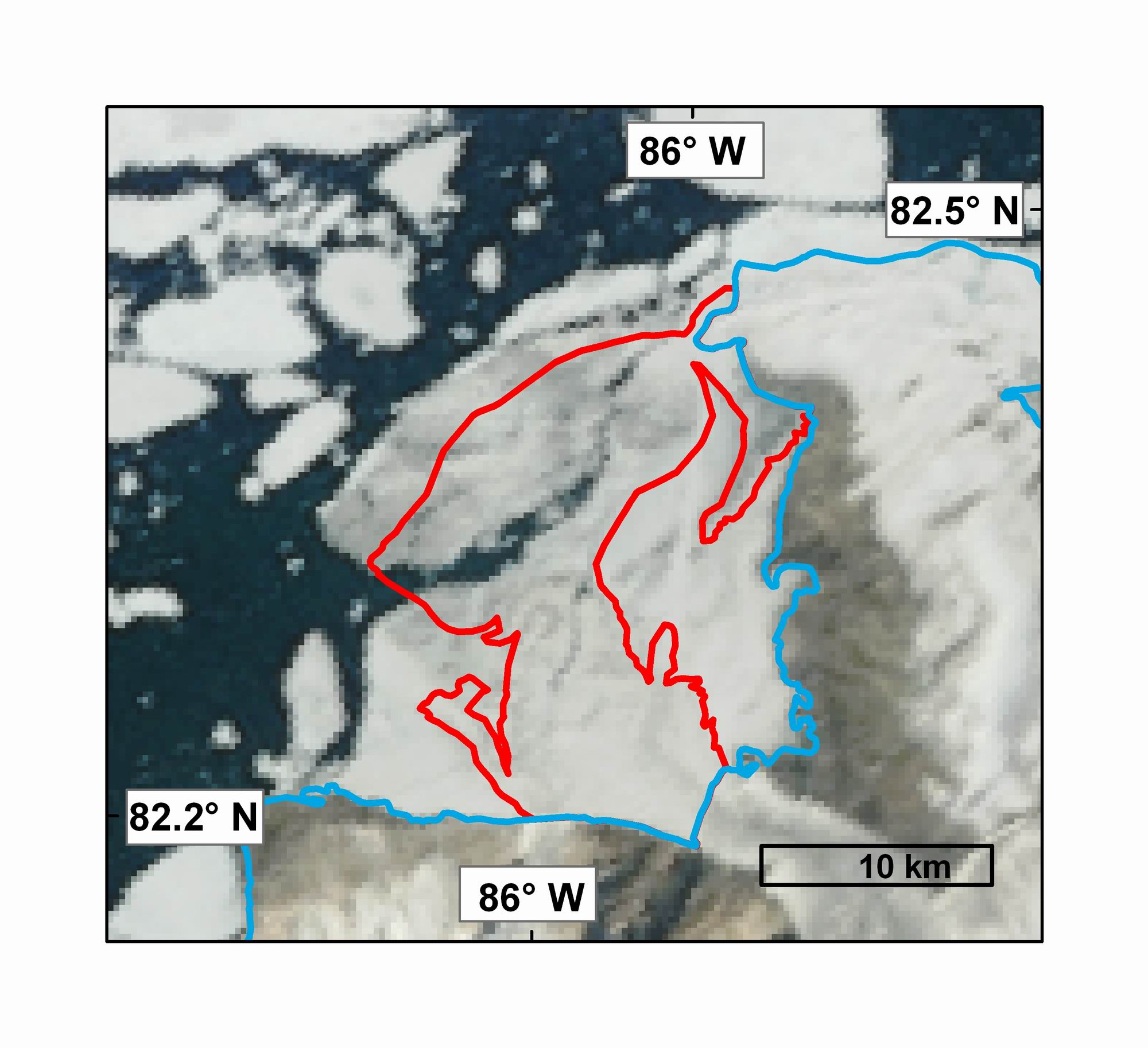
4) A MODIS image of the Serson Ice Shelf (2006 extent outlined in red) on July 30, 2008 after break-up has begun. MODIS image from the Rapid Response Project at NASA/GSFC. Map courtesy Derek Mueller, Trent University
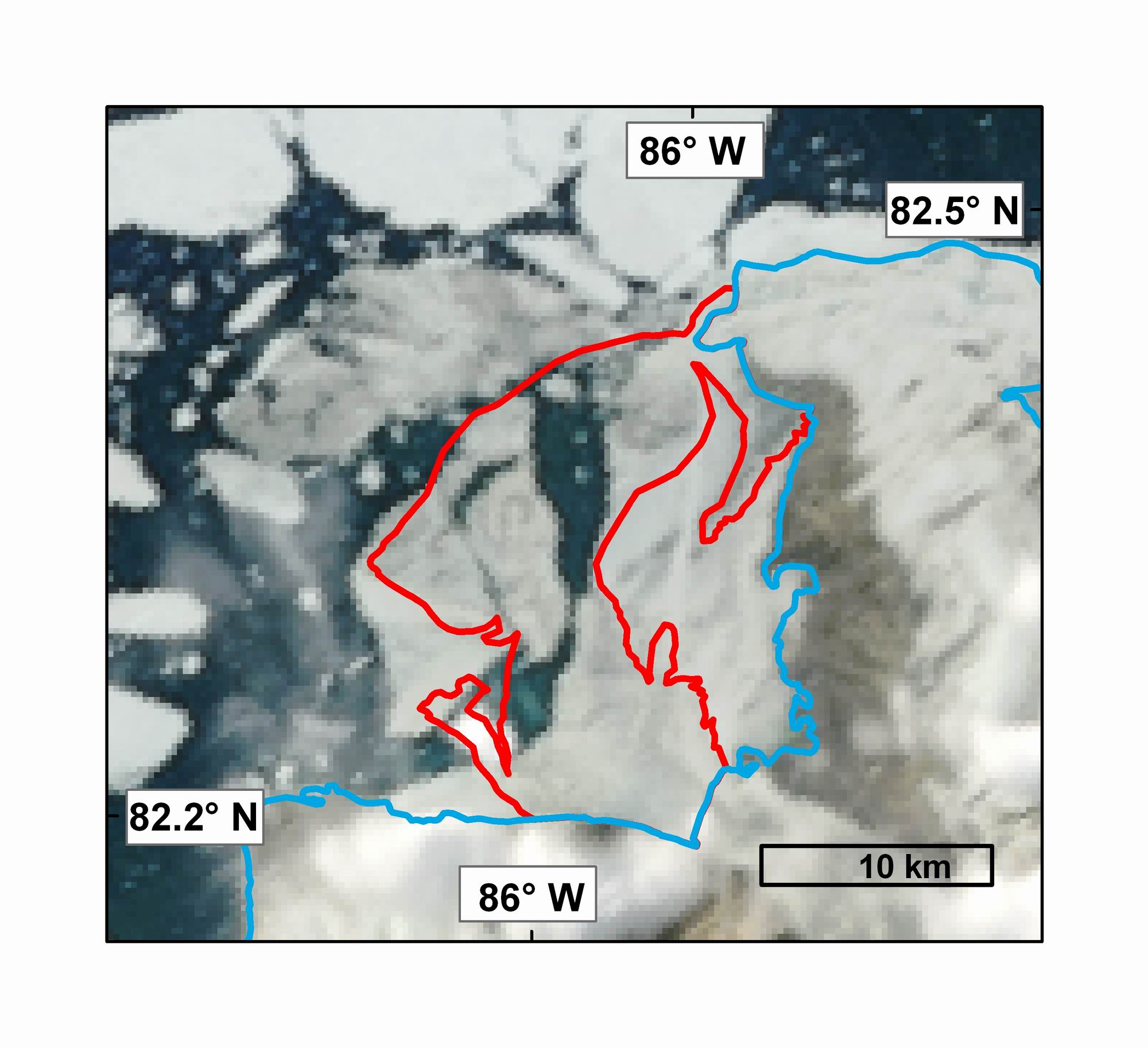
5) A MODIS image of the Serson Ice Shelf (2006 extent outlined in red) on August 1, 2008, following additional break-up. MODIS image from the Rapid Response Project at NASA/GSFC. Map courtesy Derek Mueller, Trent University

6) A MODIS image of the Serson Ice Shelf (2006 extent outlined in red) on August 6, 2008. MODIS image from the Rapid Response Project at NASA/GSFC. Map courtesy Derek Mueller, Trent University.
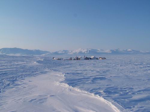
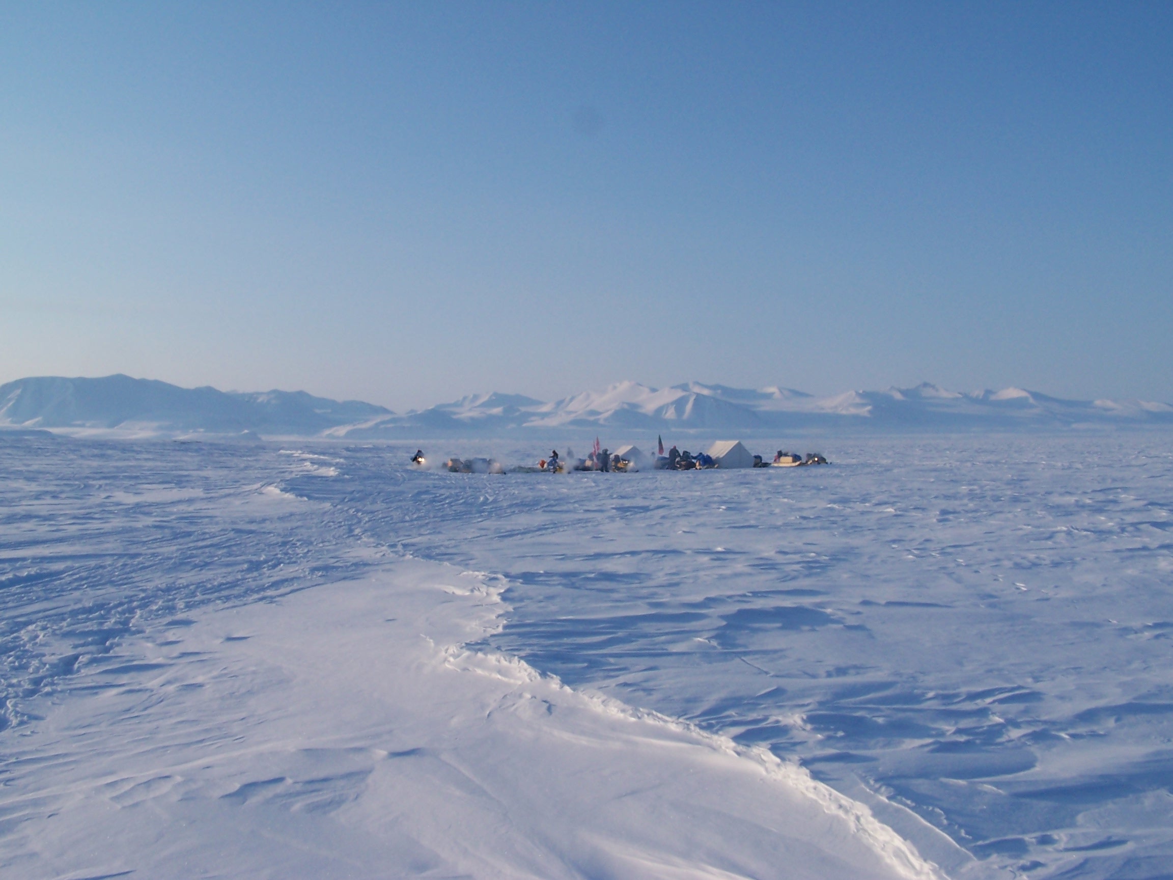
7) Camp on Cape Alfred Ernest next to the Serson Ice Shelf during a recent expedition to Northern Ellesmere Island. Photo courtesy Luke Copland, University of Ottawa.
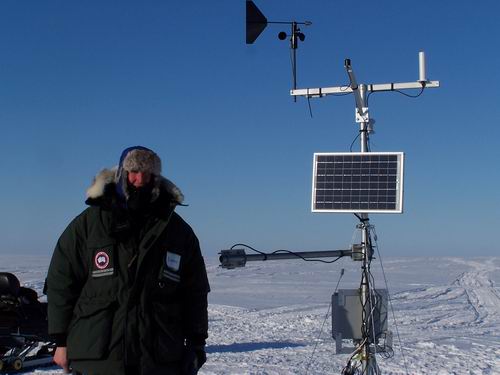
8) A climate station installed near the Serson Ice Shelf. Data are available on the links page at the following site: www.madzu.com/ellesmere. Photo courtesy Luke Copland, University of Ottawa.
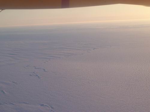
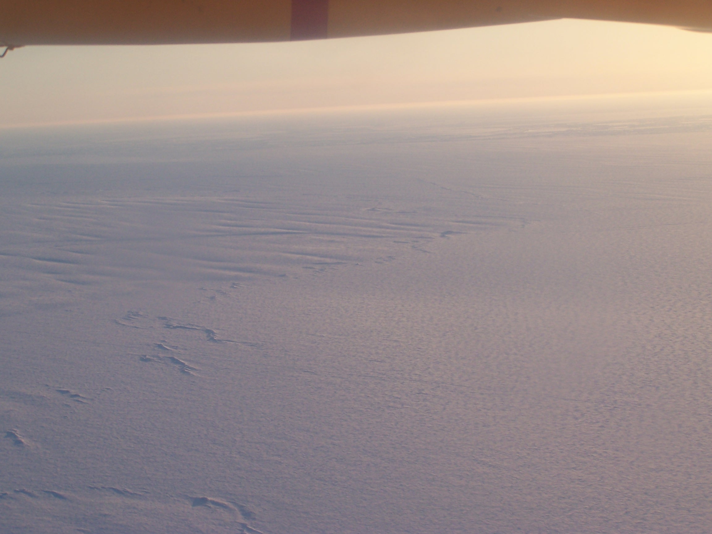
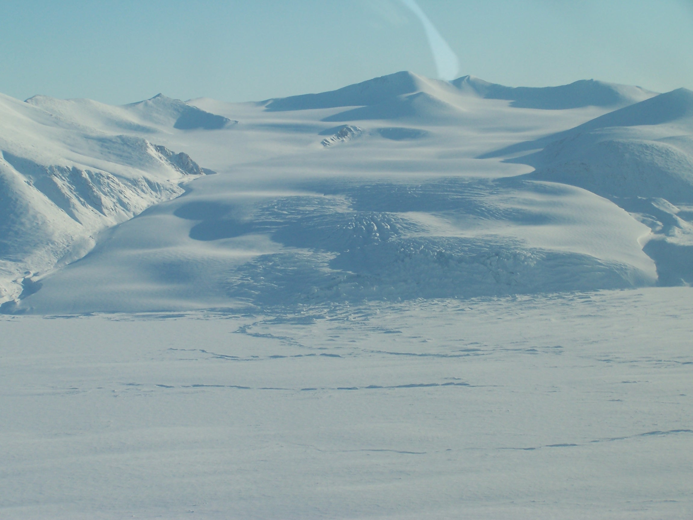
9) The gently rolling topography of the Serson Ice Shelf can be seen from the air. Photo courtesy Luke Copland, University of Ottawa.
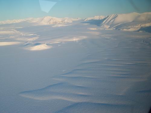
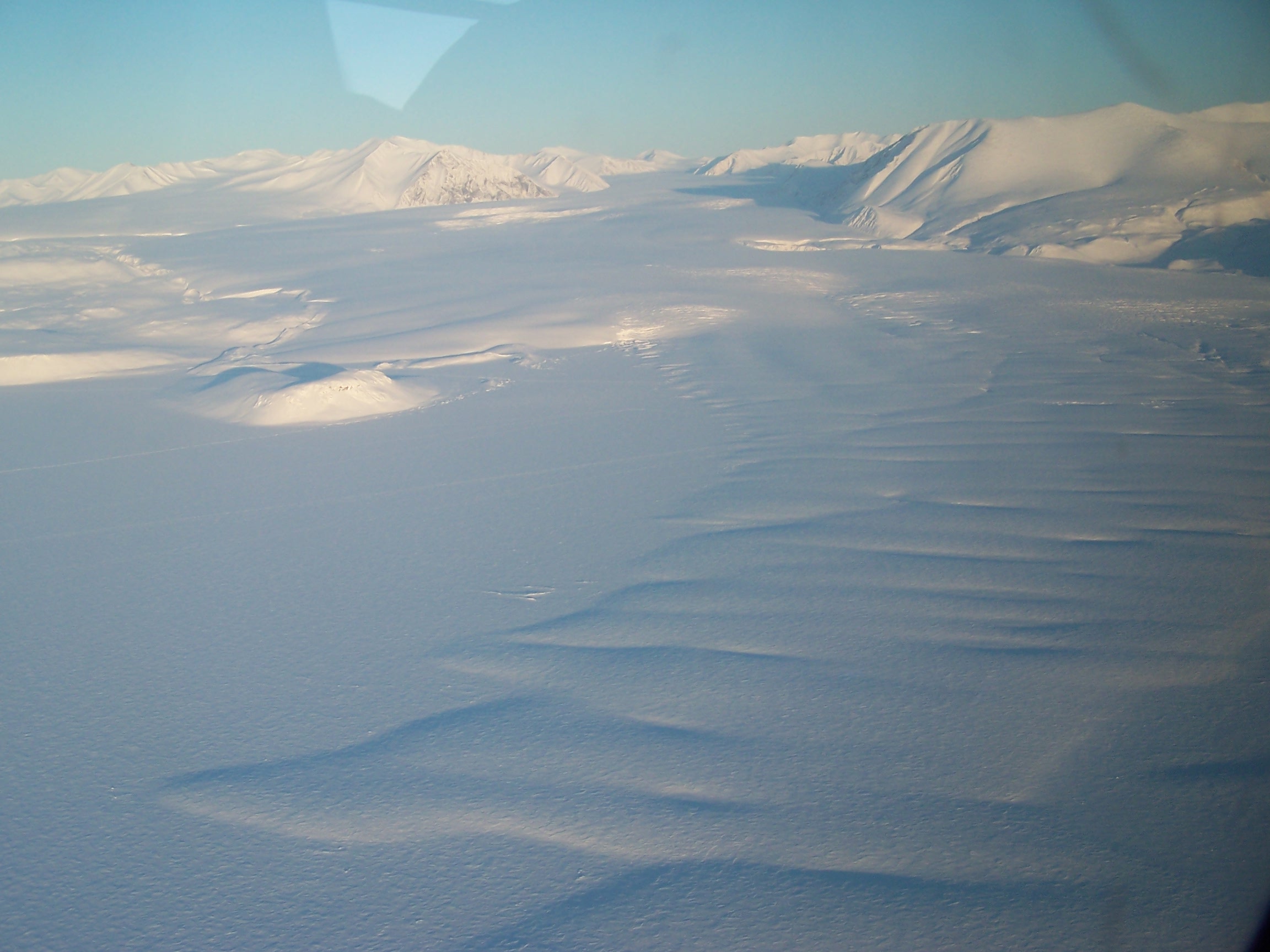
10) The Serson Ice Shelf is only partly composed of glacial ice with the other part made up of ancient sea ice and compacted snow. Here, the larger of two glaciers, whose floating tongues comprise the glacial portion of the shelf can be seen from an airplane. Photo courtesy Luke Copland, University of Ottawa.

11) The smaller of two glaciers, which feed the portion of the ice shelf composed of glacier ice descends a steep slope to the ocean. Photo courtesy Luke Copland, University of Ottawa.